Drone Photography for Austin Real Estate
Aerial stills and video flown by FAA Part 107 certified pilots. Included with every listing package, shot in the same visit as your photos.
What Aerial Photography Adds To An Austin Listing
Aerial photography and video for Austin listings, flown by FAA Part 107 certified pilots. Drone stills come with every ZABE listing package, and aerial video can be added to any shoot.
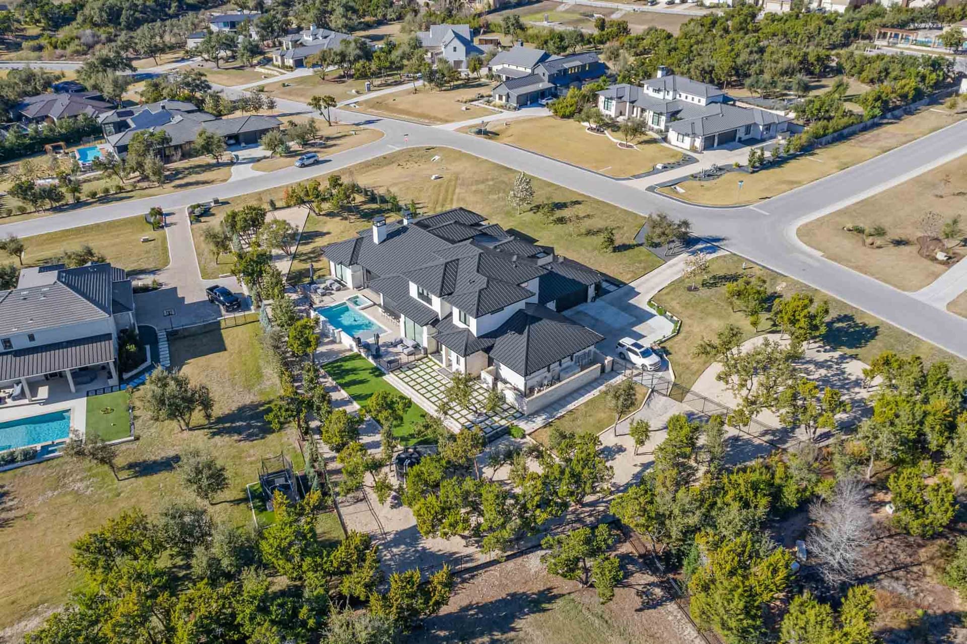
Drone is the fastest way to answer the questions a ground level photo cannot: how big the lot is, what backs onto it, whether there is a pool or a shop or a second structure, how far the water is. On acreage and on anything with a view, the aerial is frequently the photo that gets the showing booked.
It is also the shot that goes wrong most often when it is treated as an afterthought. A frame taken from 350 feet straight down tells a buyer nothing. The useful altitude for a house is much lower, angled, and shot at a time of day when the roof is not a sheet of glare.
What we fly, and why the Part 107 license matters
Every ZABE aerial shoot is flown by a Part 107 certified remote pilot. That is the FAA certification required to fly a drone commercially in the United States, and it is not optional for paid work. Plenty of listings in this market get flown by someone without it. If the flight goes wrong, or a neighbor complains, an uncertified commercial flight is the agent's problem as much as the pilot's.
Austin makes this more than a formality. A large slice of the metro sits inside controlled airspace around Austin Bergstrom International, and there are further restrictions over parts of downtown and the Capitol complex. Flying there legally means requesting LAANC authorization for the specific location and altitude. We check the airspace for every address before the shoot rather than turning up and finding out.
What aerial adds to a listing
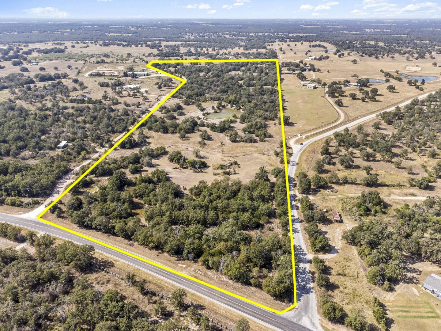
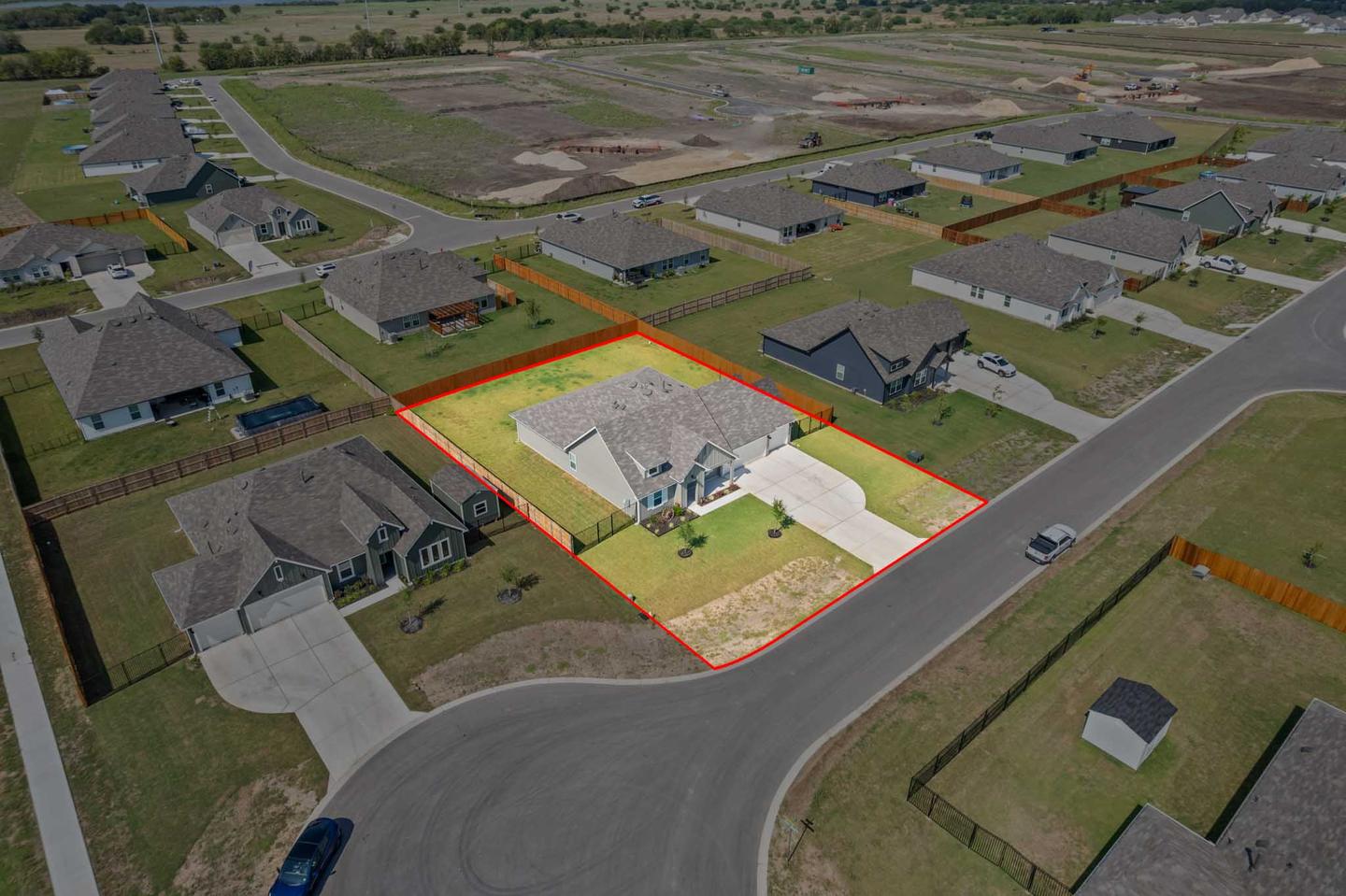
- Lot size and boundaries. The one thing a listing description cannot make a buyer feel. On land and acreage we can also mark the boundary line on the image.
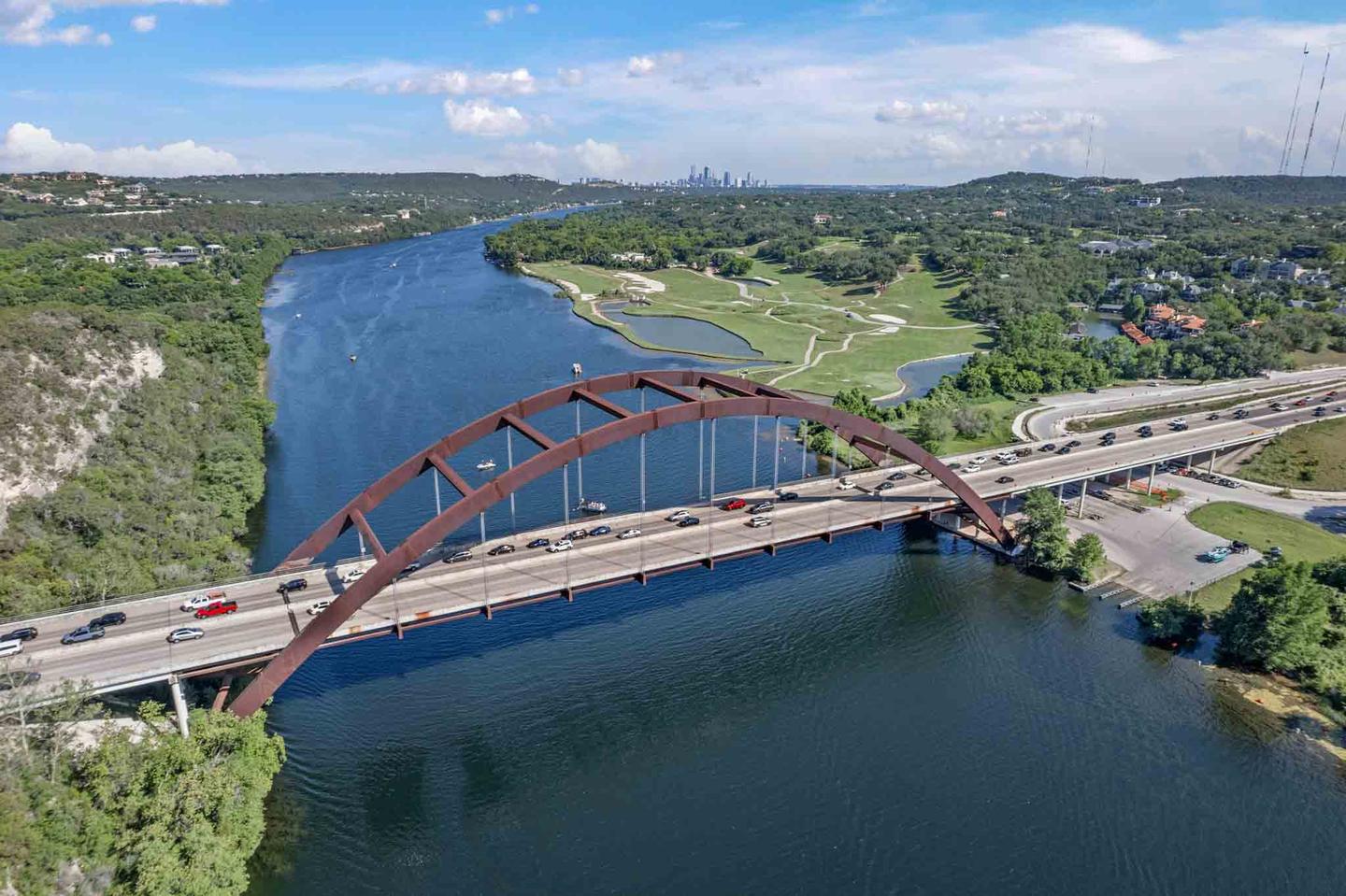
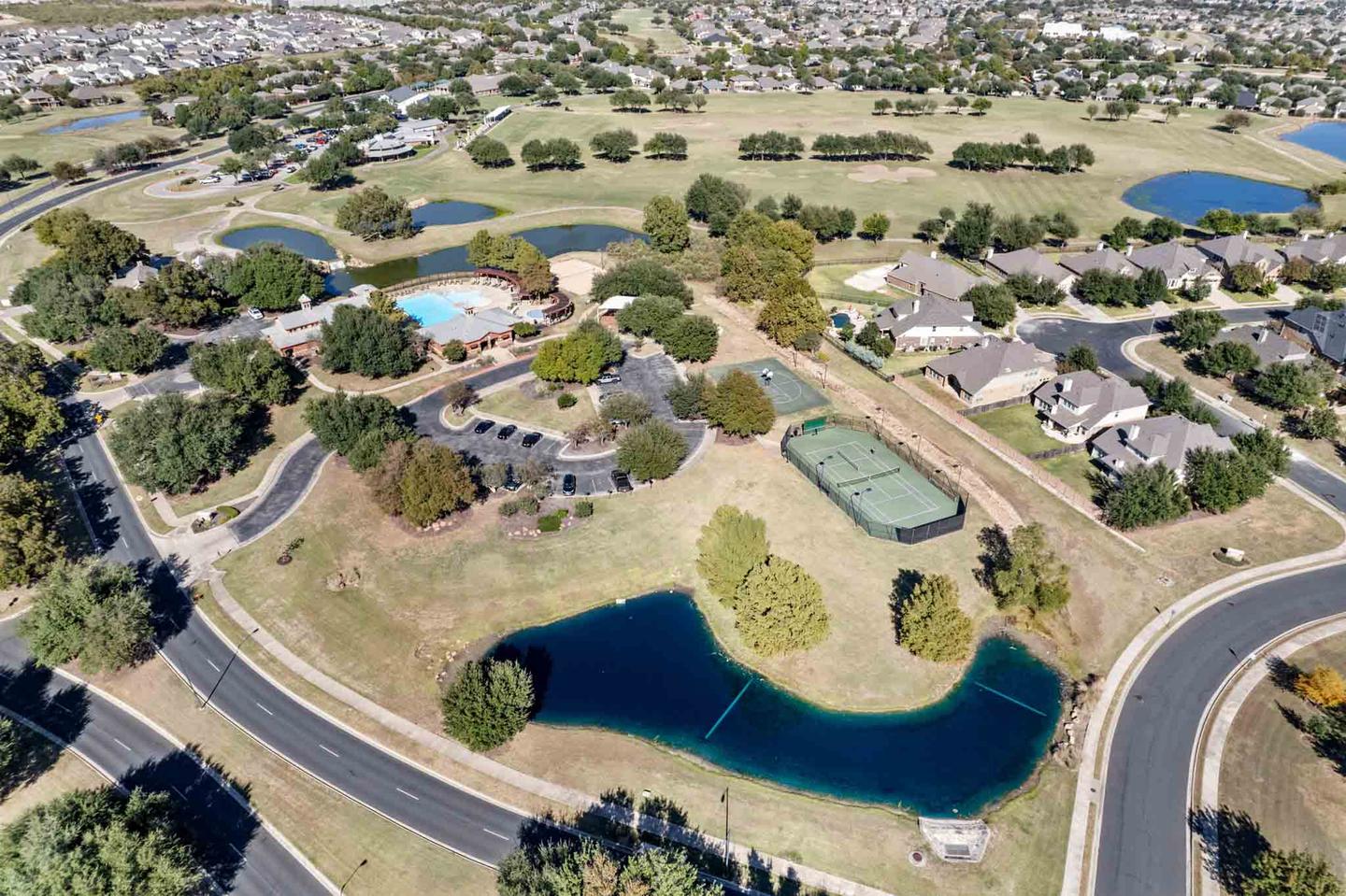
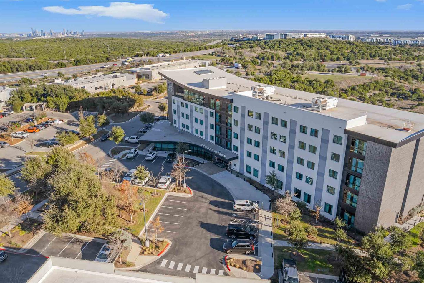
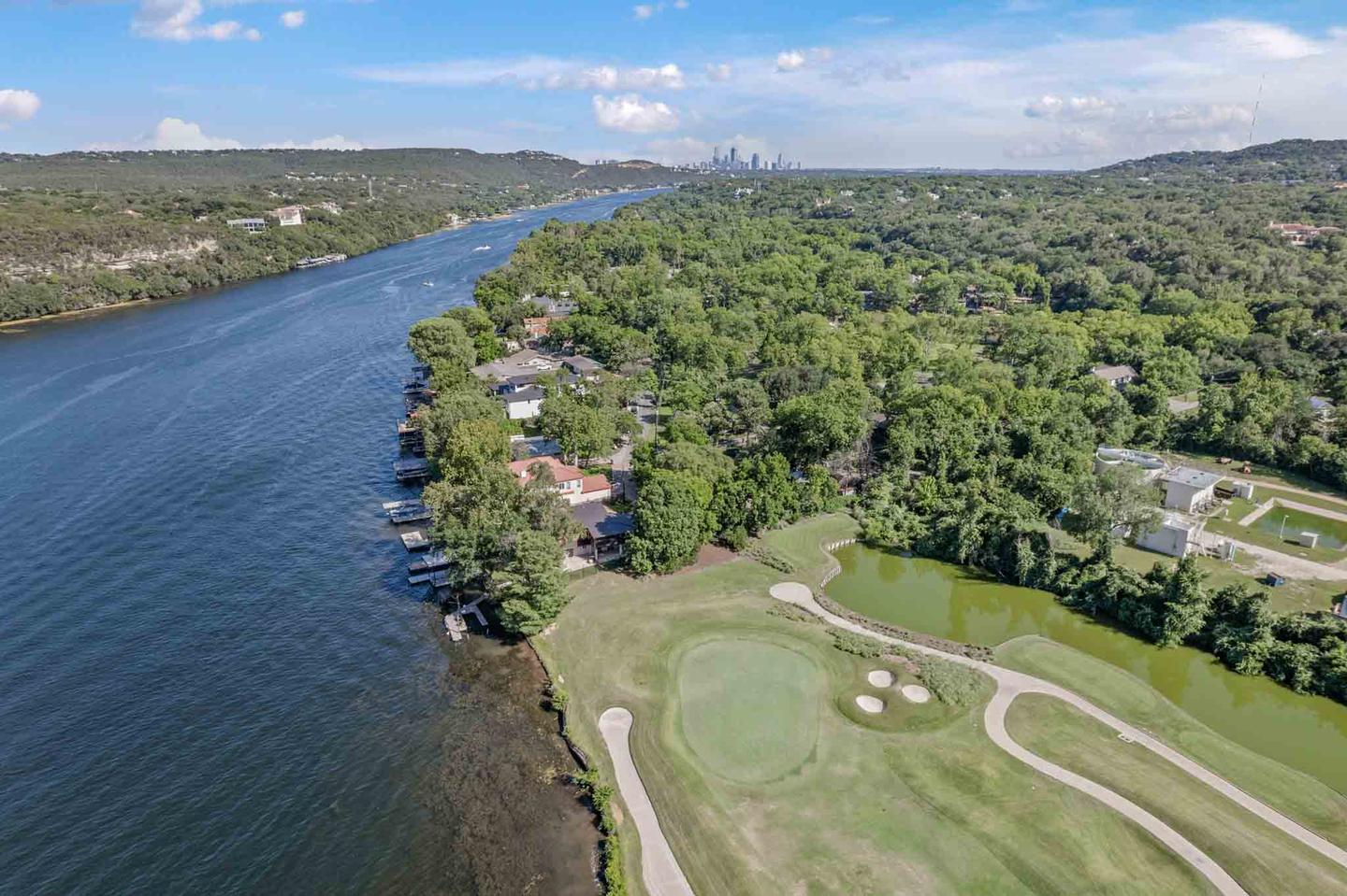
- Context. Greenbelt behind the fence, the lake two streets over, the golf course, the elevation. Or, honestly, the busy road, which is better discovered in the photos than at the showing.
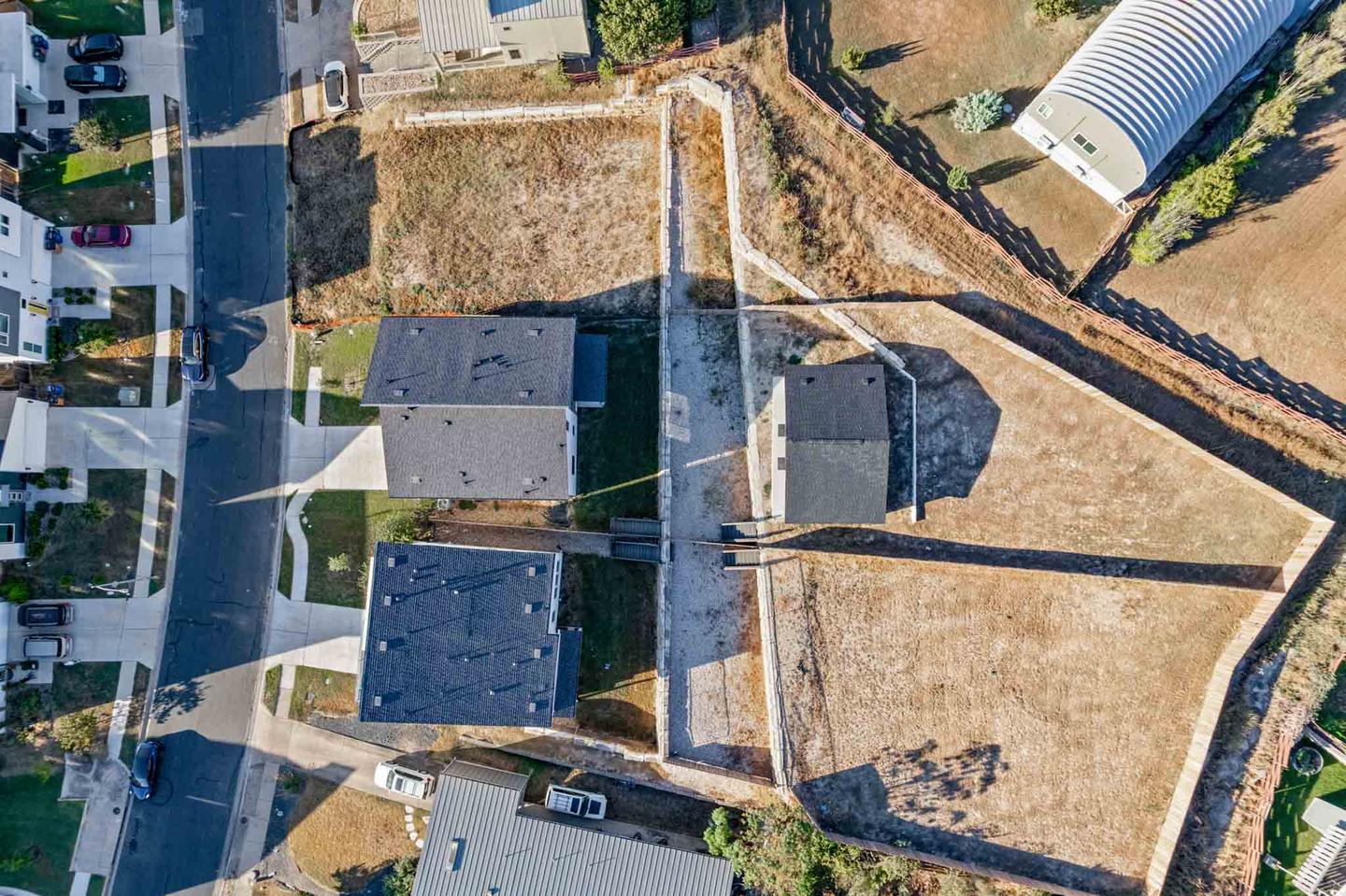
- The whole property in one frame. Pool, guest house, shop, barn, paddock. Anything spread across a site that no ground level angle can hold together.
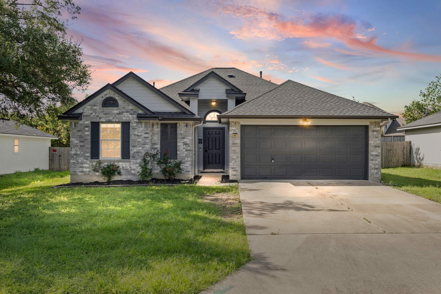
- The elevated exterior. A slightly raised angle from 40 or 50 feet flatters almost every house and is nothing like a full overhead.
Aerials are included, not an upsell. Every ZABE listing package comes with drone stills. You do not need to decide between photos and aerials, and there is no separate trip. See what each package includes.
Aerial video for listings
Moving aerial is a different job from stills, and it is where a listing film usually opens. A slow reveal over the treeline, a push toward the front elevation, an orbit that shows the whole site. We cut aerial into walkthrough films and social reels, or deliver the clips on their own if your videographer is handling the edit.
Where drone photography matters most
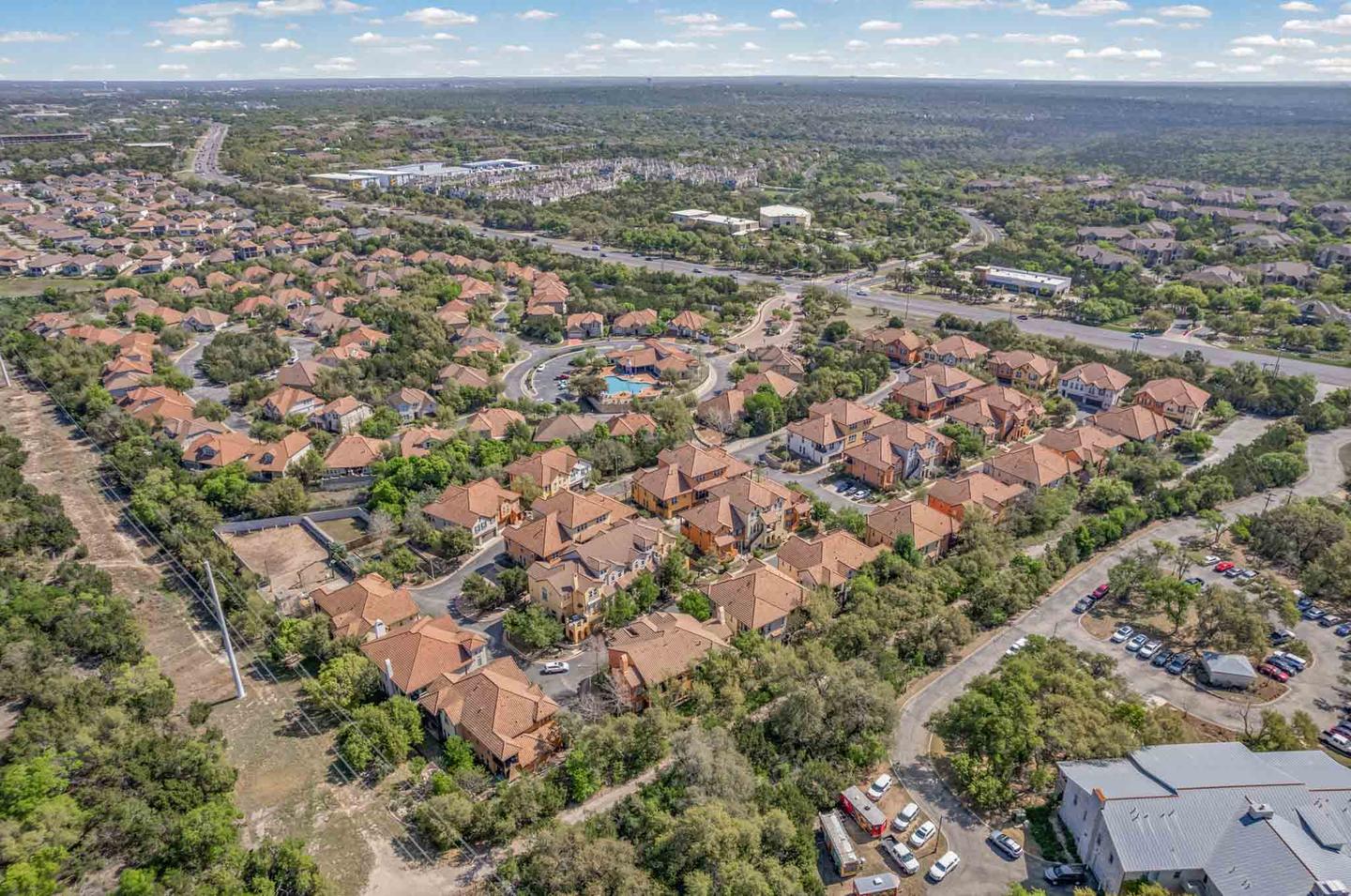
Aerial earns its place on ranch and land, where it is genuinely the primary photography, and on luxury property where the setting is part of the price. It is also close to essential on apartment and multifamily listings and on new construction, where a community needs to be shown as a whole.
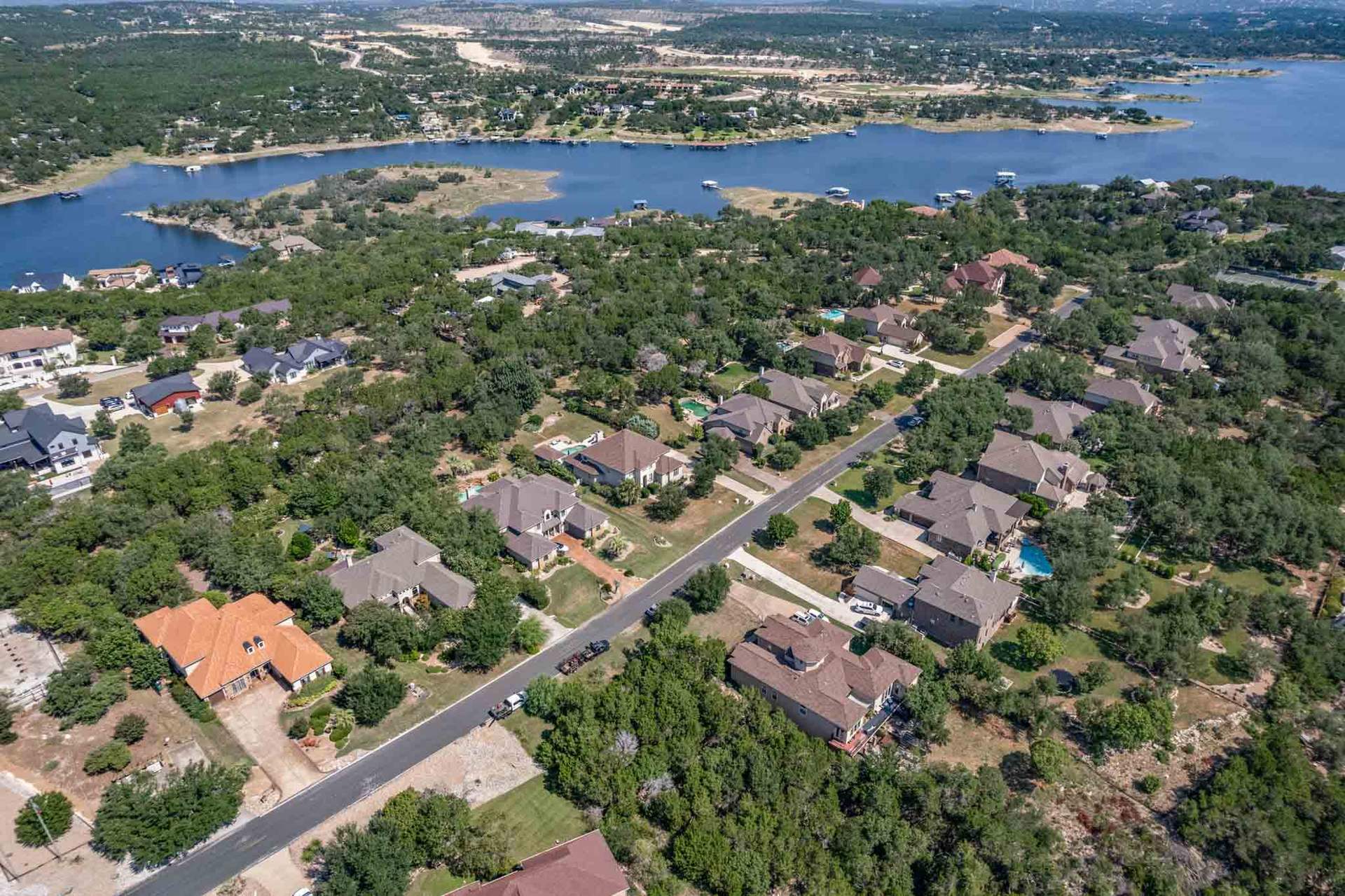
Around the metro it does the most work out west, in Lakeway, Bee Cave, Westlake and Dripping Springs, where lots are larger and the hill country view is a real part of what is being sold.
Selected work
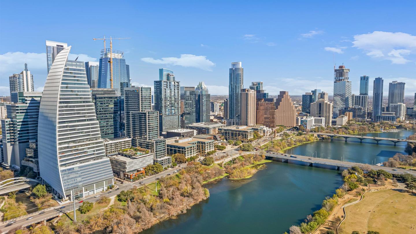
Aerial Photography Across Central Texas
Lot context, elevation and setting on properties around the Austin metro.
What you get
What Comes With An Aerial Shoot
Everything below happens on the same visit as your listing photography. There is no second appointment and no second travel charge.
Part 107 certified
Land needs altitude before it needs anything else. From 200 feet a five acre lot stops being a description and becomes a shape.
Add Drone To Any Shoot
Aerial is one part of a listing gallery. These are the pieces agents most often book alongside it.
Other services
Drone Photography Service Areas Around Austin
We fly across the Austin metro and out into Central Texas. Airspace changes city to city, so we check the class and pull any authorization needed before the shoot day rather than on your driveway. Travel to the cities below is included.
Need aerials somewhere that is not on this list? Get in touch. We cover most of Central Texas, and the booking form shows any trip fee for an address before you confirm.
Drone Photography FAQs
Are your drone pilots licensed?
Can you fly near the airport, or downtown?
How much does drone photography for real estate cost?
What if it is too windy to fly?
Do you need permission from the homeowner?
What Agents Say About Our Drone Work
The real estate photos came out stunning. The drone shots were the real showstopper, making the property stand out from the competition. Communication was smooth and scheduling was effortless.
The aerial photography gave us a unique perspective of the property, which helped attract so many potential buyers. Isaiah and Abriel were incredibly knowledgeable, patient, and always available to answer our questions.
The aerial photography provides another in-depth layer to whatever property you are promoting. 10/10 would recommend and would definitely use their services again.
5.0 from 150+ Google reviews Read more reviews See them on Google
Get started
Book Aerial Photography In Austin
Booking takes less than two minutes. Tell us the address and we will check the airspace before the shoot, not on the day.
Prefer to talk it through first? Send us a message and we will come back to you within a couple of hours on business days.
-
Phone(512) 859-6430
-
Email[email protected]