Ranch and Land Photography in Central Texas
Acreage, ranch and vacant land shot from the air, with marked boundaries, water features and access. The photography land actually needs.
On A Land Listing, The Aerial Is The Primary Photography
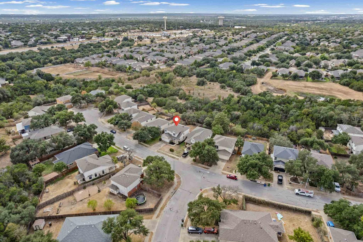
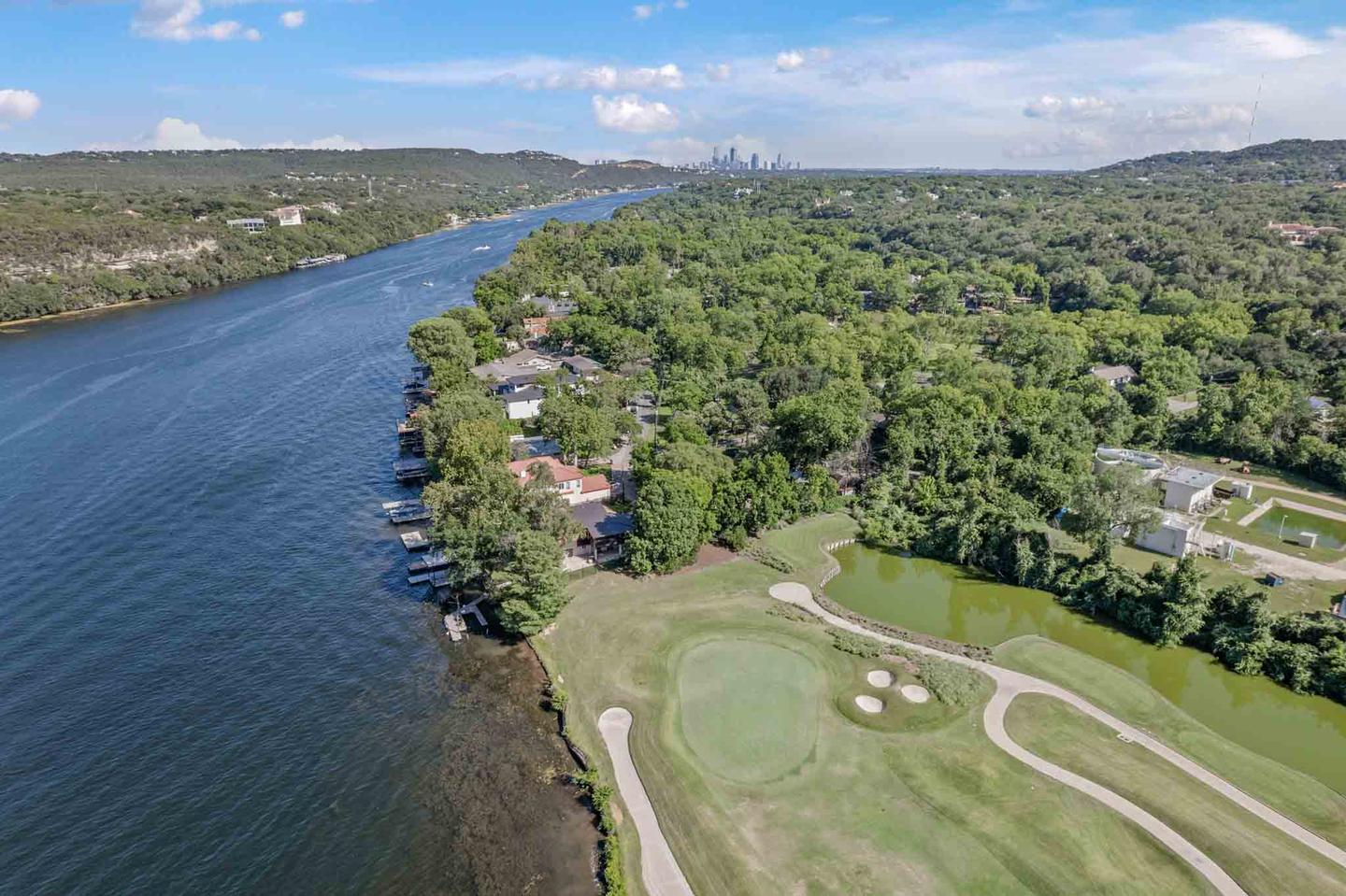
On a land listing the aerial is not an add on, it is the primary photography. Everything a buyer needs to know is about shape, size, terrain, water and access, and none of that is visible from the ground.
Land around Austin is some of the hardest property to photograph well, and some of the most commonly photographed badly. A ground level shot of a gate and a fence line tells a buyer nothing about 42 acres.
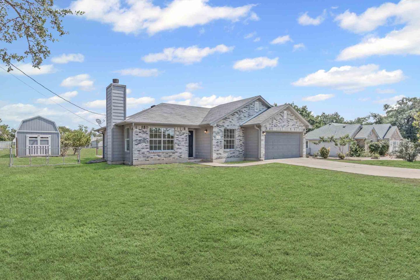
What we shoot on a land listing
- The parcel from altitude, framed so the whole property fits with enough surrounding context to orient a buyer.
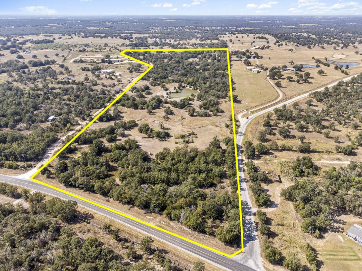
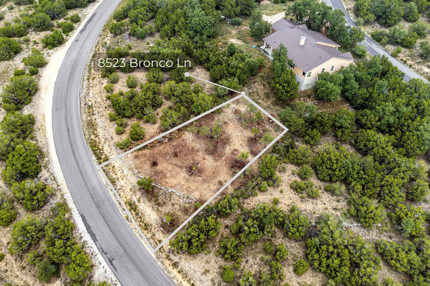
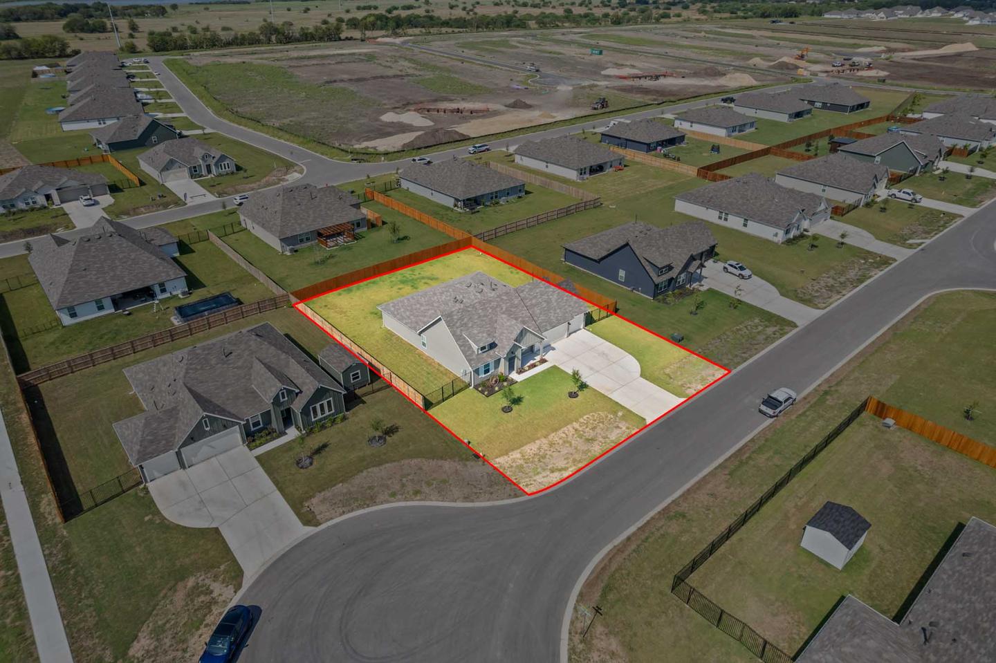
- Marked boundaries. The property line drawn onto the aerial images, which is by far the single most useful thing you can give a land buyer and the thing most land listings do not have.
- Terrain and elevation. Lower angled passes that show how the ground actually moves, because a flat overhead makes a hill country property look like a parking lot.
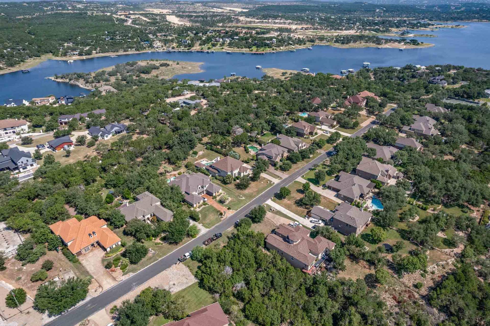
- Water. Creek, pond, tank, river frontage, and honestly how much of it there is at the time of year we shot it.
- Access. Road frontage, the gate, the interior roads and how you actually get from the road to the building site.
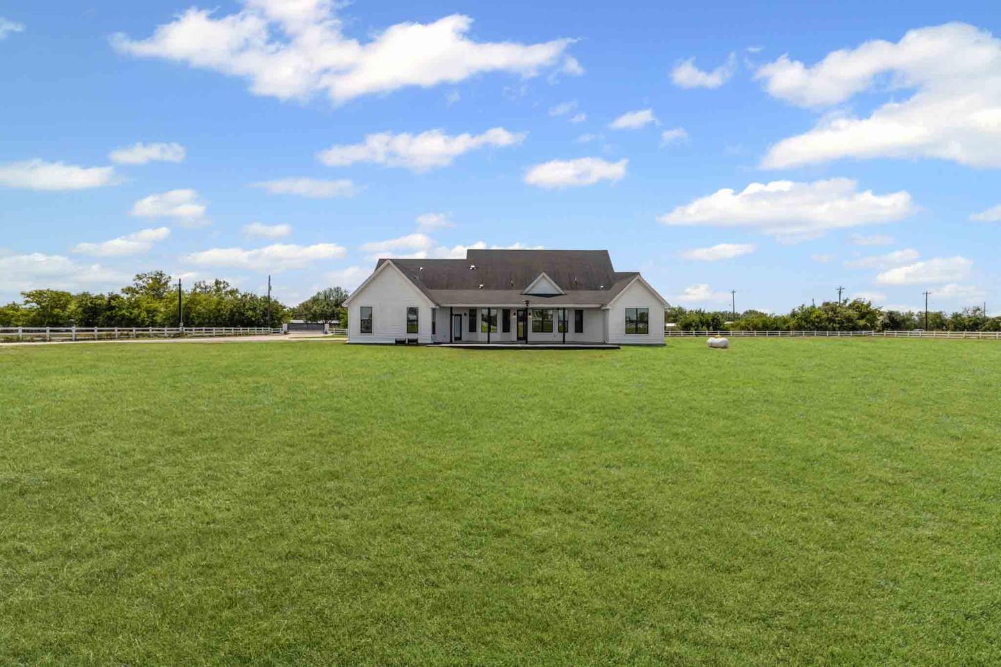
- Improvements. Barn, shop, arena, pens, house, well, utilities. Photographed from the ground as well as the air.
Boundary marking is not a survey. We draw the property line onto the image based on the plat or the boundary information you supply, and it is labeled as approximate. It is a marketing tool for orientation, not a legal document, and no buyer should be treating it as one.
Working out where the value in the land is
The most useful thing you can do before a land shoot is tell us what the property is being sold as. A hunting tract, a homesite, a ranch operation, a subdivision play and a recreational property are the same dirt and completely different photographs. If the value is the building site with the view, we shoot the view from the building site. If it is 200 acres of hunting cover, that is a different flight entirely.
What to expect on a land shoot
Land shoots take longer than a house and need more planning. Large parcels take several flights and battery changes. We need to know about livestock, locked gates, cattle guards and anything on the property that will not appreciate a drone. Time of day matters more than on a residential shoot, because low sun is what reveals terrain, and a midday flight flattens everything.
Most of our land work is out around Bastrop, Del Valle, Dripping Springs, Manor and the hill country west of Bee Cave.
Selected work
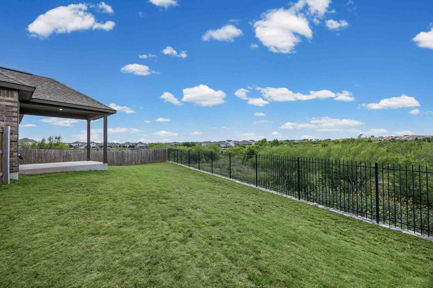
Recent Land And Acreage Work

What a shoot covers
What A Land Shoot Covers
Aerial led, because everything that decides a land purchase is only visible from above.
Ranch and land
On acreage the value is in what surrounds the house, and almost none of it reads from the ground.
Services For This Property Type
Land listings are aerial first. Ground coverage is for the improvements and the building site.
Book these together
The Other Property Types We Shoot
Land is aerial led and quoted per property. Everything else we photograph is below.


Ranch And Land Service Areas Around Austin
Acreage tends to sit at the edges of the map, out past Dripping Springs, Bastrop and Manor, and that is exactly where we shoot it. Travel to every city below is generally included, and the booking form shows any trip fee for acreage further out.
Land outside this map? Get in touch. We cover most of Central Texas, and the booking form shows any trip fee for an address before you confirm.
Ranch and Land Photography FAQs
Can you mark the property boundaries on the photos?
How much land can you cover in one shoot?
What do you need to know before a land shoot?
Does time of day matter on land?
Do you shoot the house and barns as well?
What Land And Acreage Clients Say
I had a wonderful interaction with Zabe media when they provided the service of a photo shoot for my unimproved lot in South Austin. The pictures they took look great.
The aerial photography provides another in-depth layer to whatever property you are promoting. 10/10 would recommend and would definitely use their services again.
The photos show the property in a really great way, with excellent angles and lighting. The aerial shots are wonderful, and for the floor plans, thank you so much.
5.0 from 150+ Google reviews Read more reviews See them on Google
Get started
Get A Quote For A Land Listing
Tell us the acreage, roughly where it is and what it is being sold as, and we will scope the flights and come back with a price.
Prefer to talk it through first? Send us a message and we will come back to you within a couple of hours on business days.
-
Phone(512) 859-6430
-
Email[email protected]